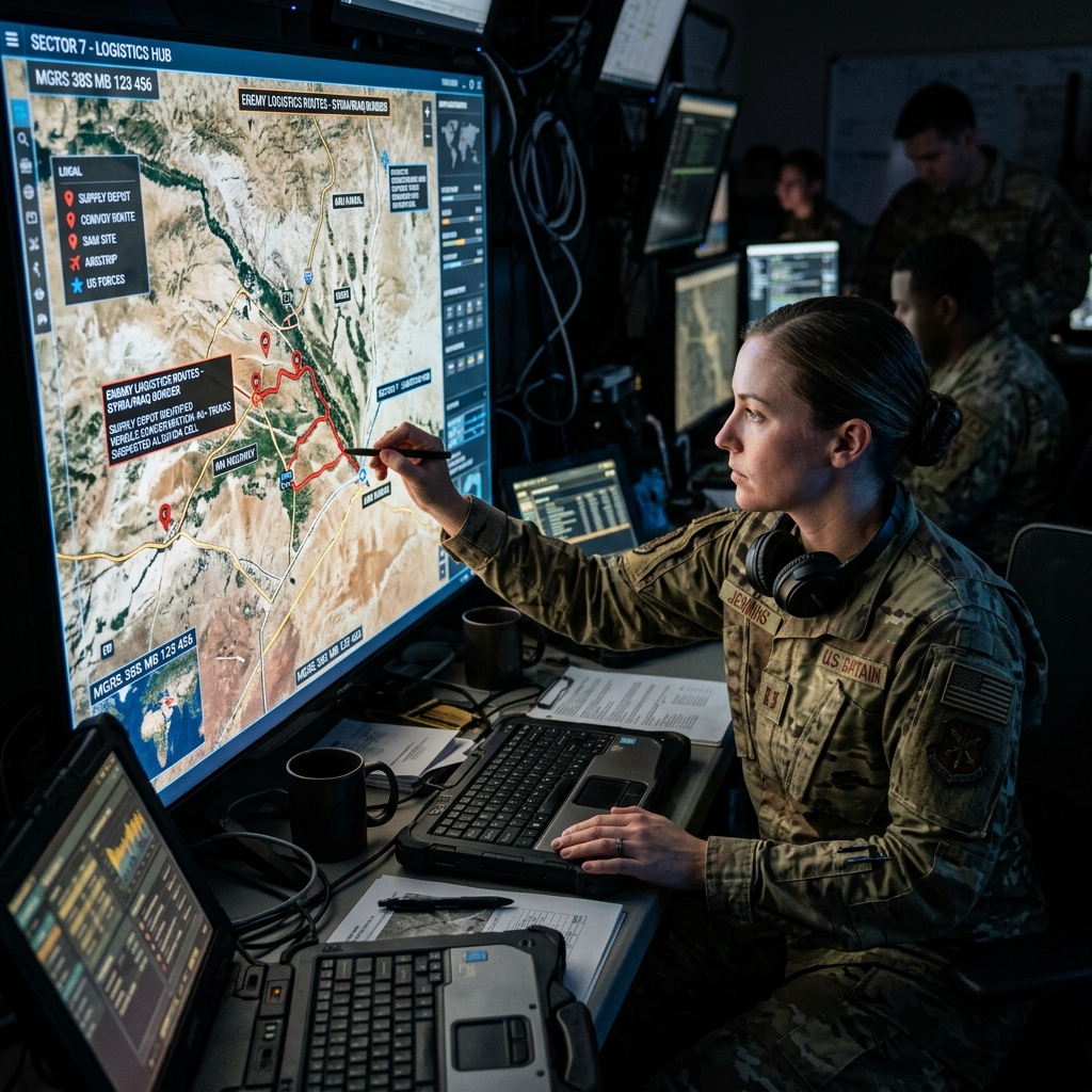
Discovering New Enemy Supply Routes
Recent analysis of high-resolution satellite imagery has revealed significant shifts in the enemy’s logistical networks. In an attempt to avoid precision artillery strikes, hostile forces have been observed constructing new, camouflaged supply routes through heavily wooded and previously impassable terrain.
The Role of Synthetic Aperture Radar (SAR)
These discoveries were made possible through the use of Synthetic Aperture Radar (SAR) satellites, which can penetrate cloud cover and dense foliage to detect metallic structures and vehicle tracks. The constant monitoring of these areas provides military intelligence with a real-time understanding of enemy troop movements and resupply efforts.
Strategic Countermeasures
With this new intelligence, military command is rapidly adjusting its targeting priorities. Long-range artillery and drone strike teams are being repositioned to intercept these vulnerable supply convoys before they can reach the frontline, effectively starving forward enemy positions of fuel and ammunition.
The Future of Space-Based Intelligence
The successful identification of these hidden routes underscores the growing importance of space-based assets in modern warfare. As commercial and military satellite constellations continue to expand, the battlefield becomes increasingly transparent, leaving very few places for large-scale military operations to hide.
| Reconnaissance Asset | Primary Capability | Limitation |
|---|---|---|
| Electro-Optical Satellites | High-resolution visual imagery | Obscured by clouds/night |
| SAR Satellites | All-weather, day/night imaging | Lower resolution visual detail |
| High-Altitude Drones | Persistent local surveillance | Vulnerable to air defense |
| Signal Intelligence (SIGINT) | Intercepting communications | Requires active transmissions |